
Navitia Web Solution
The key features of passenger information in a turnkey web module.
Who is the Navitia Web Solution for ?
A solution that meets your challenges
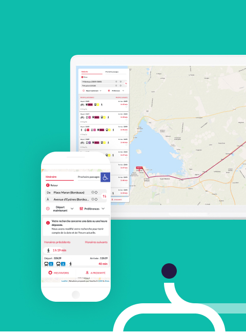
Are you a Sustainable Mobility Organizing Authority, a transporter or an integrator and are looking for a turnkey web-based solution to display mobility services on your website? Thanks to the Navitia Web Solution, you can easily and quickly add to your site major features such as route calculation, time search and search nearby.
Responsive, the solution supports end-to-end travellers on their daily and occasional trips with its ease of use and optimized UX/UI routes.
Based on the multimodal and real-time Navitia route calculator, the NWS allows to value the entire transport offer.

Navitia Web Solution
What are the benefits?
Opt for the Navitia Web Solution, an easy-to-integrate web module and modern design for optimized UX/UI routes.
-
A turnkey web module, easy to integrate
-
Enhance and promote its transport offer
-
Offer services to facilitate the movement of travellers
-
Benefit from an optimized UX/UI interface
Navitia Web Solution Features
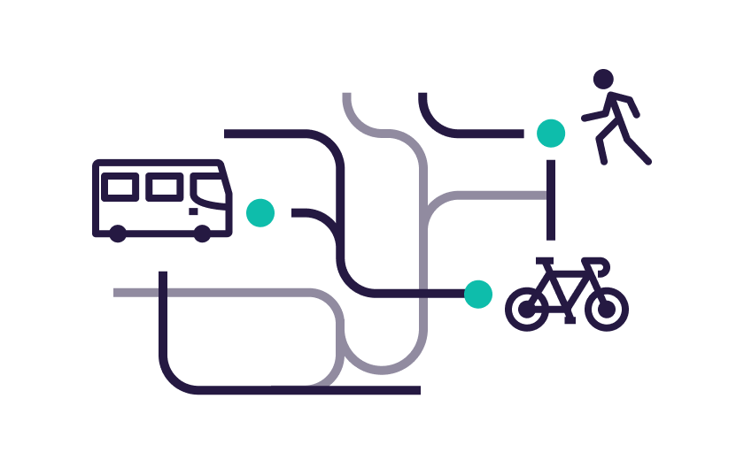
Calculation of multimodal & intermodal journey planning
Offer your travellers a multitude of possibilities by combining public and private modes of transport: train, metro, tram, bike self-service, new mobility, walking… The list of solutions is directly based on the Navitia calculation engine.
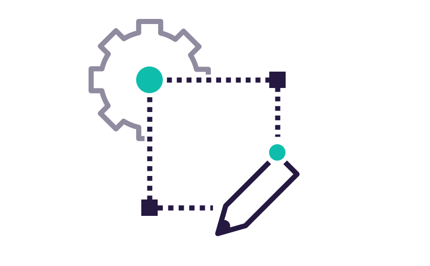
Customization
Customize the solution with your graphic chart: colors, line plots, mapping centering …

Custom search
Accompany the traveler through search customization. He can select his traveler profile (accessibility, walking speed, hand luggage), as well as his geolocation or his favorite stops.

Autocomplete
Benefit from Navitia’s powerful and complete autocompletion: grouping by stops, addresses, points of interest, geolocation of the starting point, etc.

Timetable search
Offer travellers the most requested functionality in the mobility sector: the next real-time departures, stop schedules, line schedules or schedules between stops.

Search nearby
The nearby search allows to know the offer of mobility or the points of interest around you by setting the search radius. An interactive map makes it easier to visualize transport stops, VLS stations and points of interest around you.

Traffic info (optional)
Inform your travellers in the event of an incident on your network by taking into account real-time disruptions in route calculations and propose bypass routes.
Easy and fast use thanks to our services

Support during the configuration phase with an expert from our team

Access to clear and detailed documentation

A support service to answer your questions